This month, Google Africa took an important step toward expanding on the continent with the official publication of images of Namibia, the fifth country in Southern Africa to be added to the service. The coverage includes Gen 4 images taken with pickups that traveled along most of the country’s national roads, from images of the forests in the Zambezi Region to the mountainous areas in the Karas Region. The Google Maps team, as well as LEFA, a Namibian company responsible for transportation services, photographed most of the country’s urban areas.
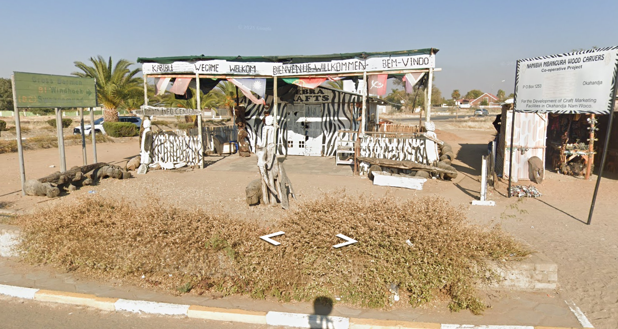
The first images of the country date from November 2023 to December 2024, when LEFA photographed much of the Windhoek metropolitan area as well as Keetmanshoop, Okahandja and Rehoboth, where the first phase of filming in the country began.

Coverage in Namibia is mainly spread across most of the country’s urban centers, covering historic areas, shopping centers, and neighborhoods. Much of the coverage dates back to 2024.
| Region | Towns Covered by GSV (As of June 2025) |
| Karas | Noordoewer, Karasburg, Aus, Luderitz, Aroab, Koes, Keetmanshoop |
| Hardap | Mariental, Stampriet, Gibeon, Aranos, Kalkrand, Maltahohe, Rehoboth |
| Omaheke | Aminuis, Leonardville, Gobabis, Witvlei, Otjinene |
| Erongo | Karibib, Usakos, Arandis, Walvis Bay, Swakopmund, Henties Bay, Omaruru, Uis |
| Kunene | Outjo, Khorixas, Kamanjab, Opuwo |
| Otjozondjupa | Okahandja, Otjiwarongo, Otavi, Grootfontein, Tsumkwe |
| Omusati | Ruacana, Outapi, Okalongo, Okahao, Tsandi, Oshiku |
| Oshana | Oshakati, Ongwediwa, Ondangwa |
| Oshikoto | Tsumeb, Tsintsabis, Omuthiya |
| Ohangwena | Omafo, Eenhana, Okongo |
Imagery Highlights
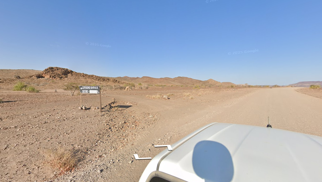
Google Street View now has images from different parts of Namibia, including views of Skeleton Coast National Park in Kunene and NamibRand Nature Reserve in Hardap. In addition, LEFA has also photographed lodges and resorts in Namibia as part of one of its initiatives to help local businesses. Thanks to this type of initiative it is possible to virtually visit most of the lodges in Divundu within the Kavango East Region, specifically those located on the banks of the Okavango River.
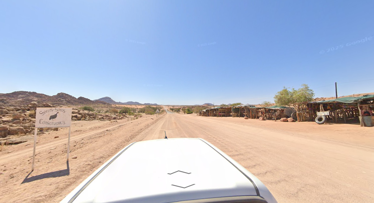
Google Maps team photograph several scenic roads in the eastern part of the country specifically in the Kalahari desert within the Omaheke Region including views of Omongwa and Toasis salt pans.
Coverage in the Zambezi region is mainly available in the area around Katima Mulilo, although LEFA staff also took the task of filming some roads around the forests of the region, specifically in the Salambala and Wupango Conservancies.
It is worth noting that the Google vehicles also photographed a number of scenic roads in Karas in southern Namibia including the ǀAi-ǀAis Hot Springs; and Orange River Mouth along the South African border as well as roads around the mountains of Klein Karas, in addition to the Mount Gambkabmond.
LEFA also photographed several of Namibia’s national monuments such as Outjo Stone Tower and Kreplin House in Ludertiz.
If you have seen LEFA vehicles in Namibia, we would greatly appreciate any help you can provide. Photos of the vehicles are particularly helpful in monitoring the progress of Google Street View, so if you have any, please send them to our Google Cars photo database.