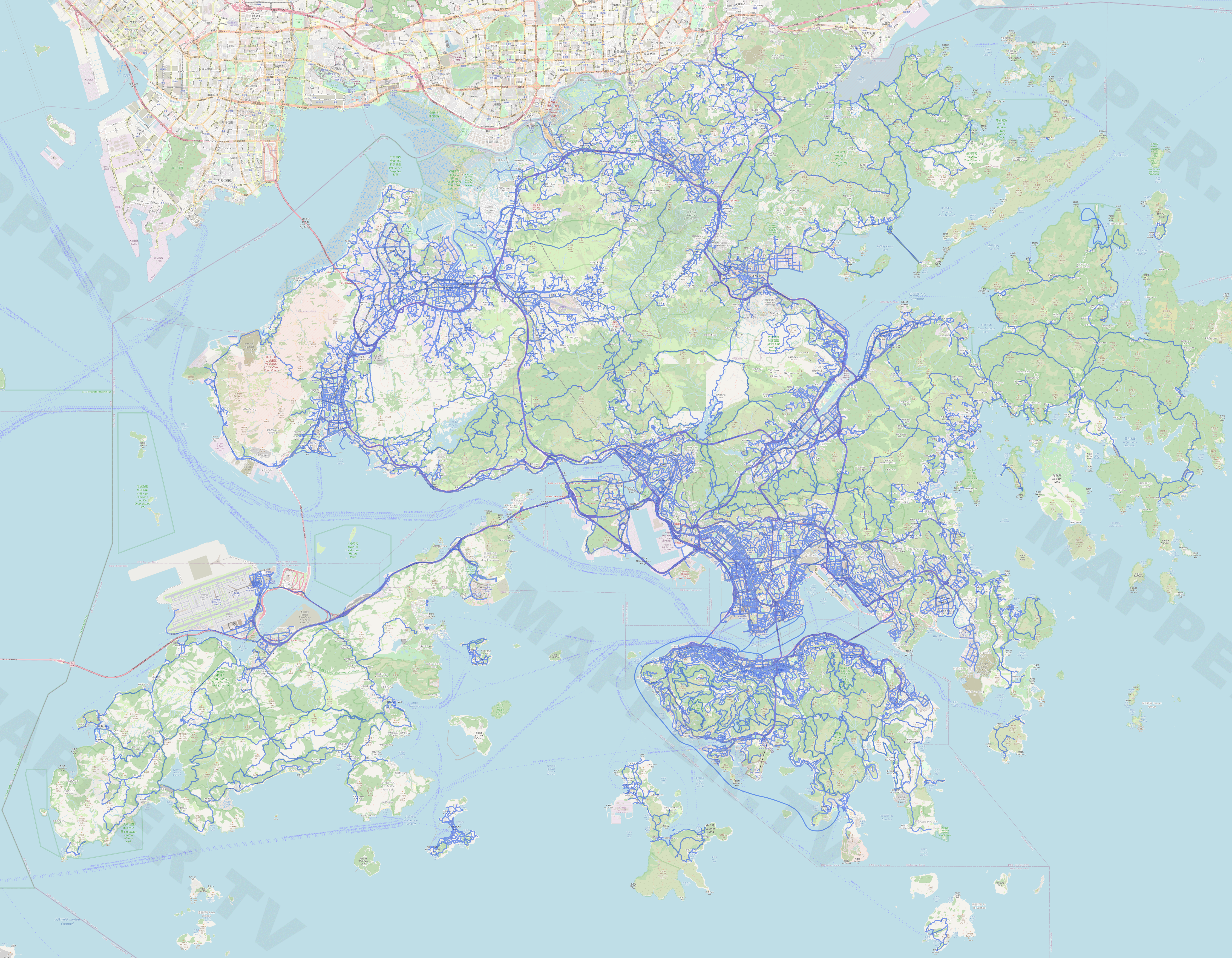
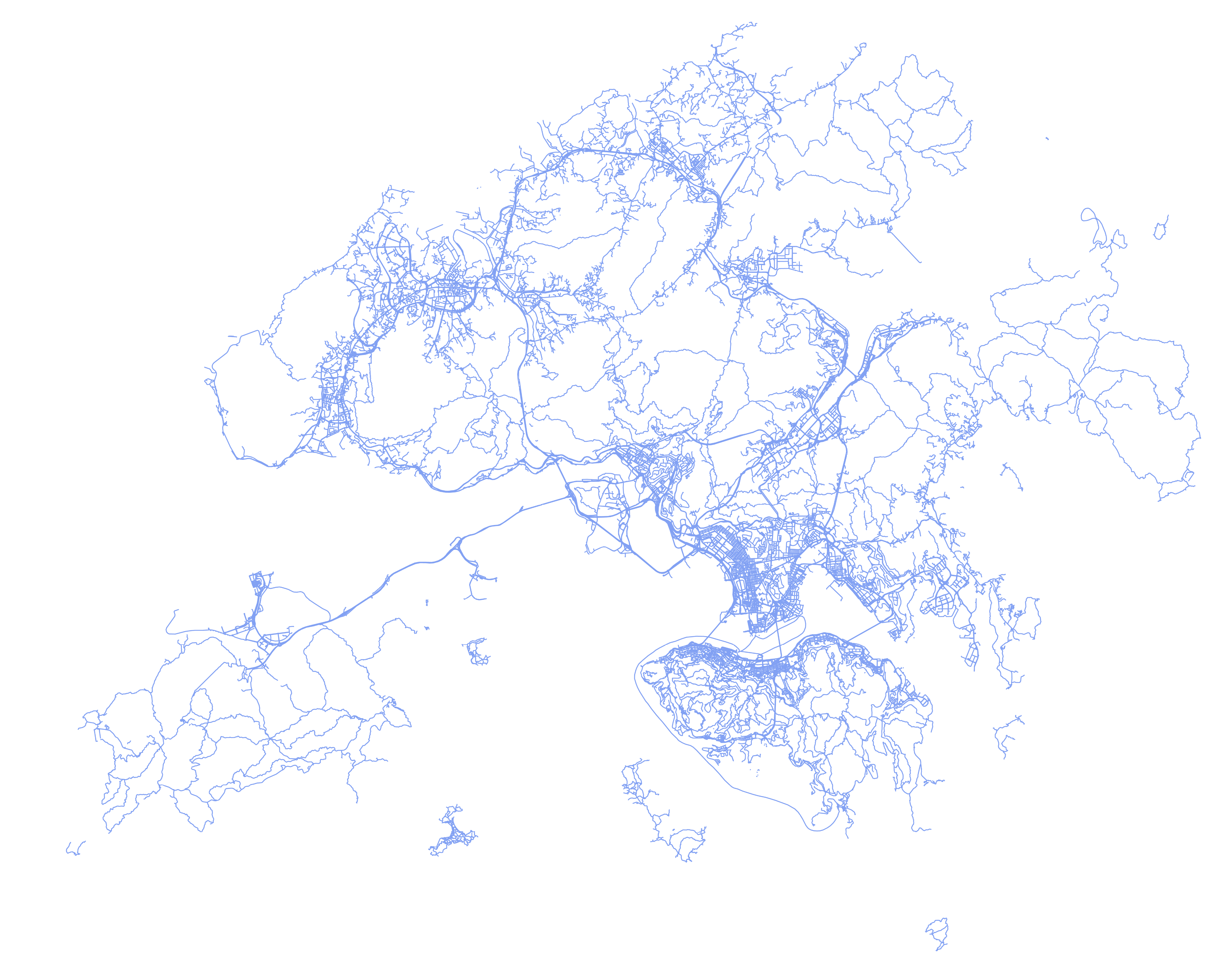
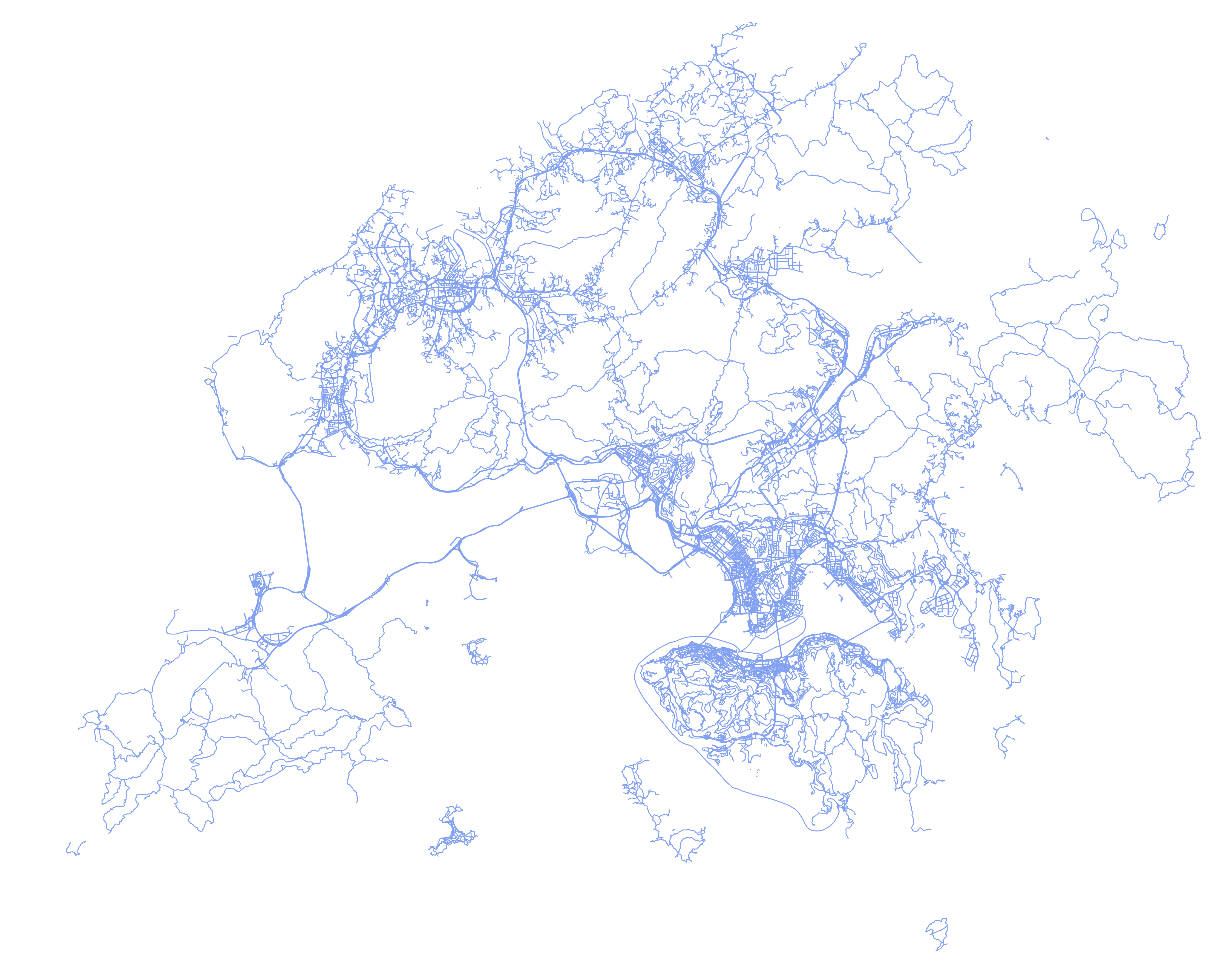
Welcome to the Google Street View Update Checker. The goal of this tool is to track Google Street View updates by checking added or removed blue lines on the map.
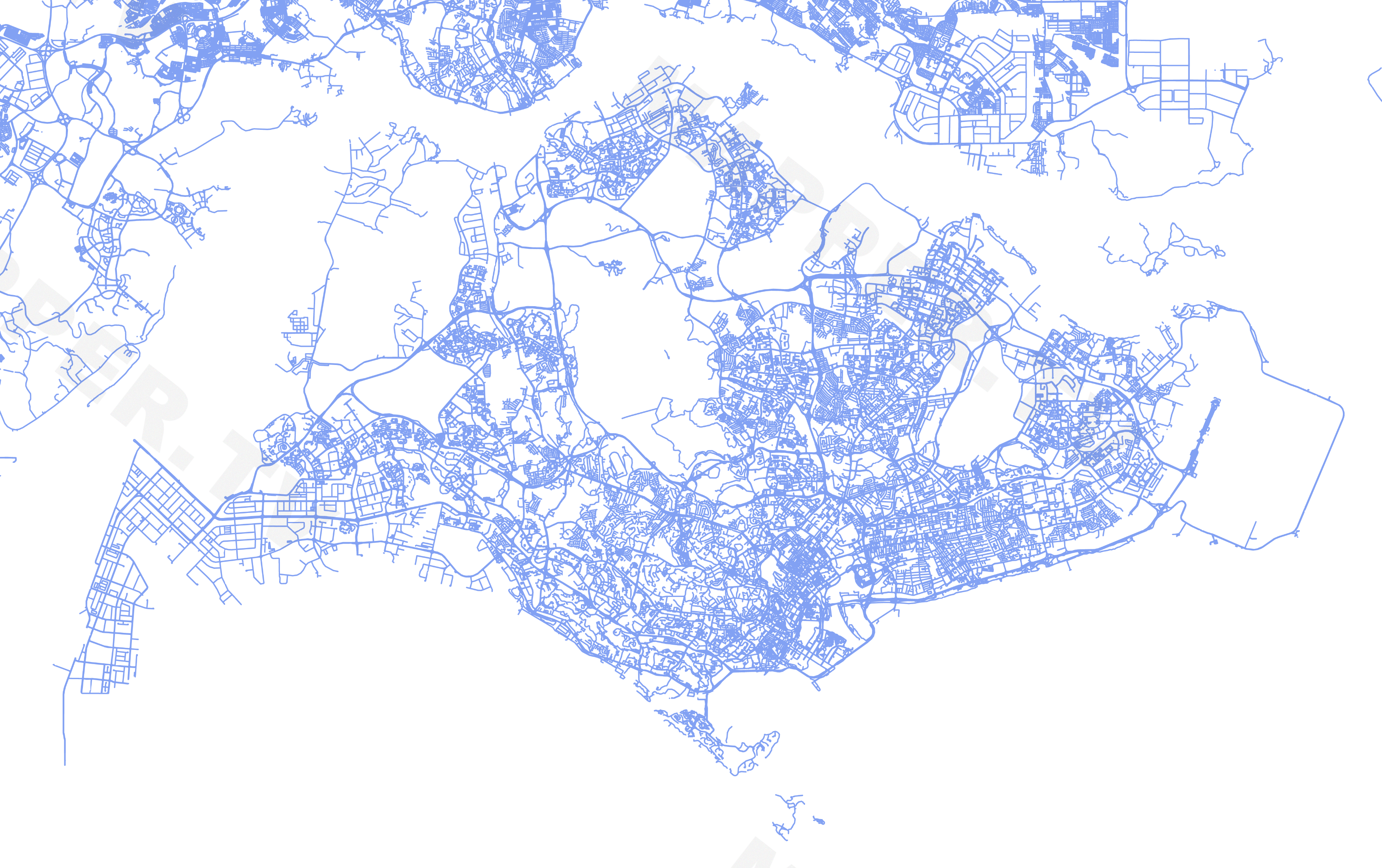
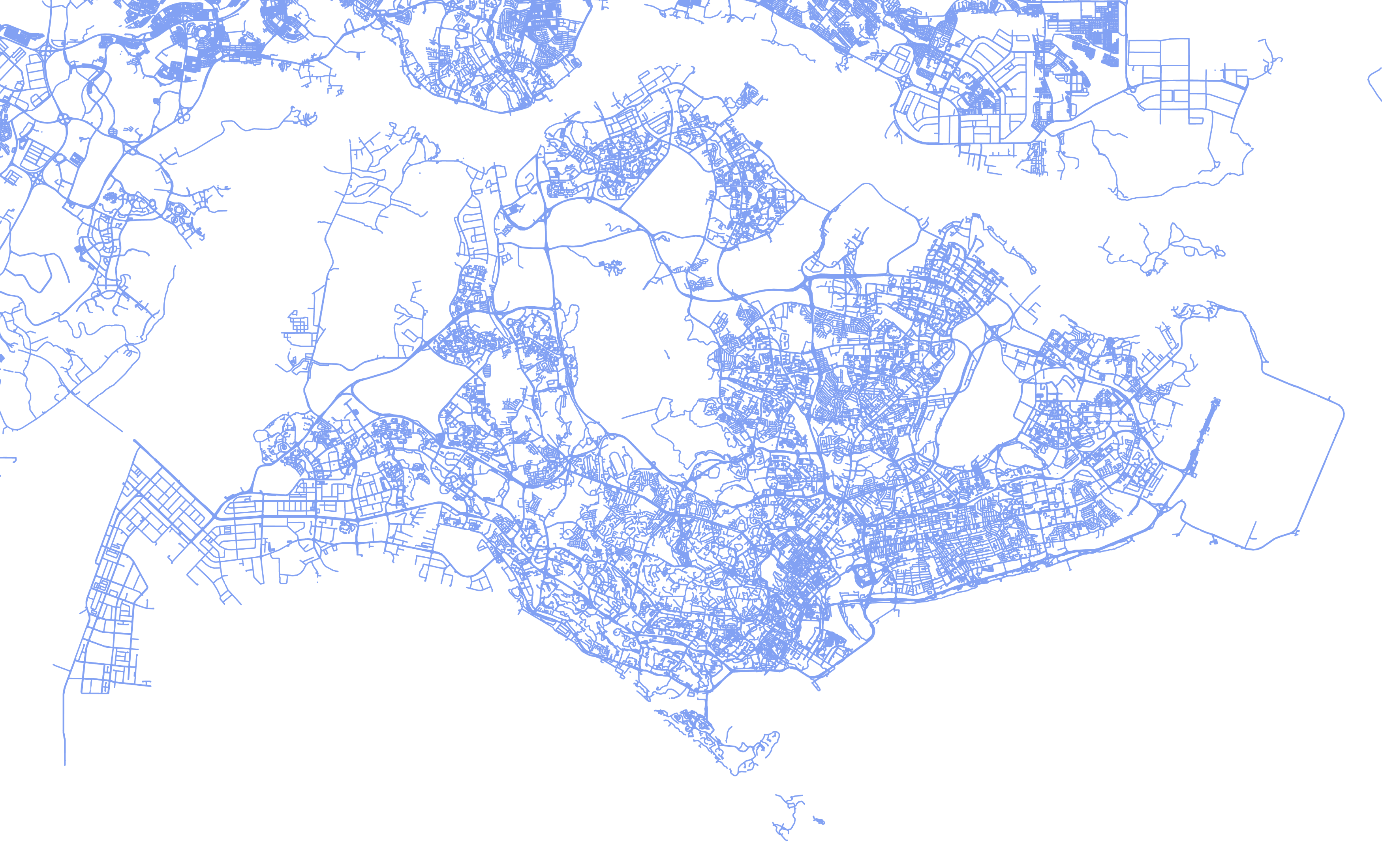
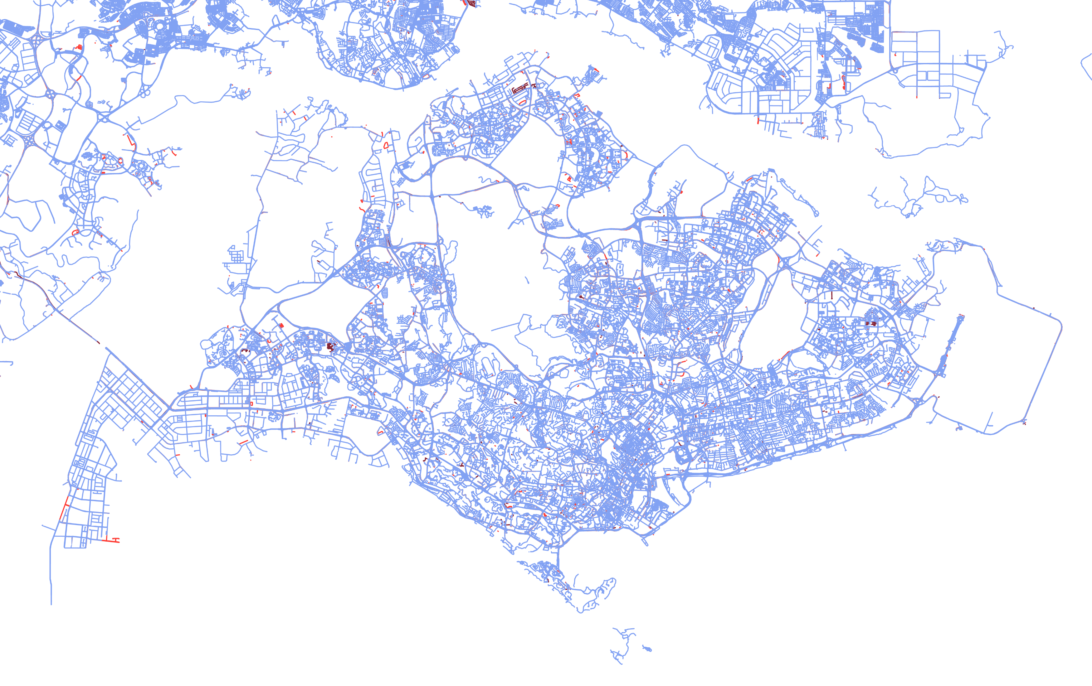
When an update is detected new snapshots are generated to identify the changes. Each snapshot is a 12000x6000 picture depicting only official coverage on regular roads. Unofficial coverage (such as photospheres or user-made blue lines) and trekker views outside of regular roads are not represented. Some road coverage marked as off-road by Google are not visible too (like the coverage in Faroe islands or most of Mongolia).
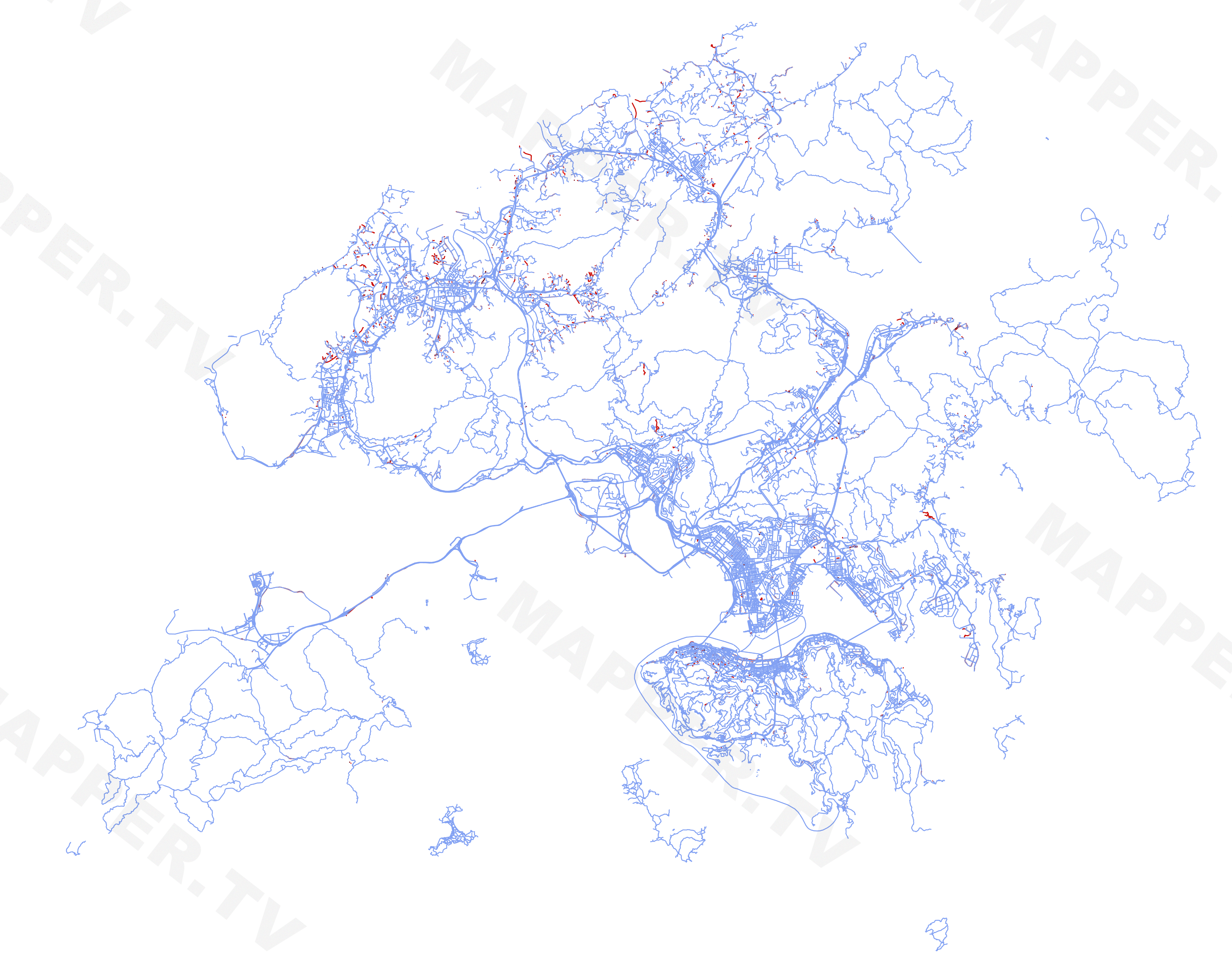
Note: changes don't necessarly mean new pictures were released, sometimes it is just the map which is updated, allowing unpublished pictures to appear or published pictures to vanish (broken blue lines).
Old format (may be upgrader to new format in the future):
| Update (old format) | Standard | Standard (no coastlines) | Difference | Difference (no coastlines) |
|---|---|---|---|---|
| 2020-05-15 | standard | no coastlines | - | - |
| 2020-06-18 | standard | no coastlines | difference | no coastlines |
| 2020-10-08 | standard | no coastlines | difference | no coastlines |
| 2020-11-17 | standard | no coastlines | difference | no coastlines |
| 2020-12-16 | standard | no coastlines | difference | no coastlines |
| 2021-03-12 | standard | no coastlines | difference | no coastlines |
New format (introduces country borders and dark themed maps); after 2021-09 Google switched to continuous updates so a map is made every month
| Update | Standard with borders | Standard without borders | Difference with borders | Difference without borders |
|---|---|---|---|---|
| 2021-06-21 | light / dark | light / dark | light / dark | light / dark |
| 2021-09 | light / dark | light / dark | light / dark | light / dark |
| 2021-10 | light / dark | light / dark | light / dark | light / dark |
| 2021-11 | light / dark | light / dark | light / dark | light / dark |
| 2021-12 | light / dark | light / dark | light / dark | light / dark |
| 2022-01 | light / dark | light / dark | light / dark | light / dark |
| 2022-02 | light / dark | light / dark | light / dark | light / dark |
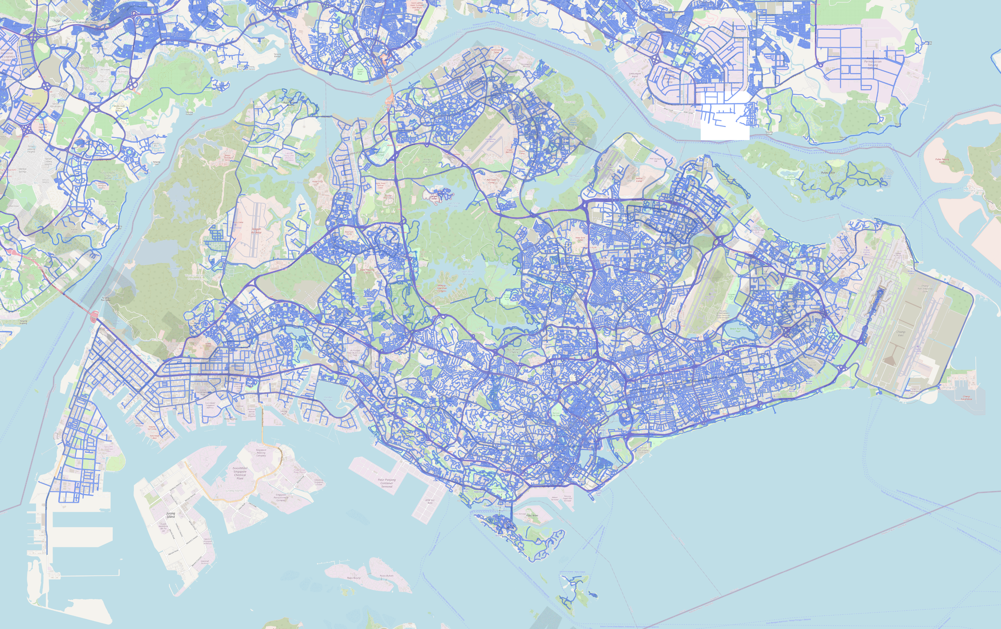
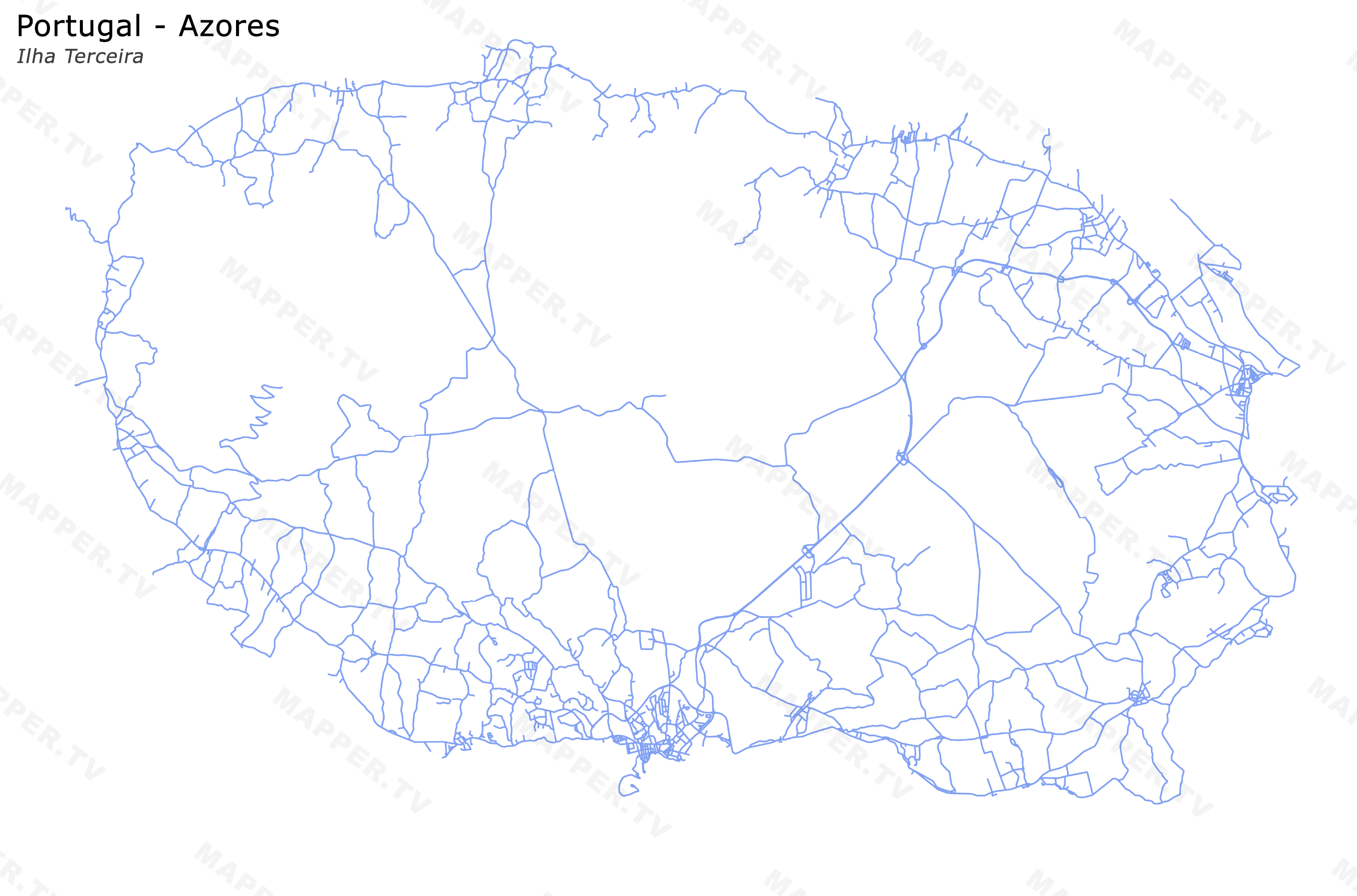
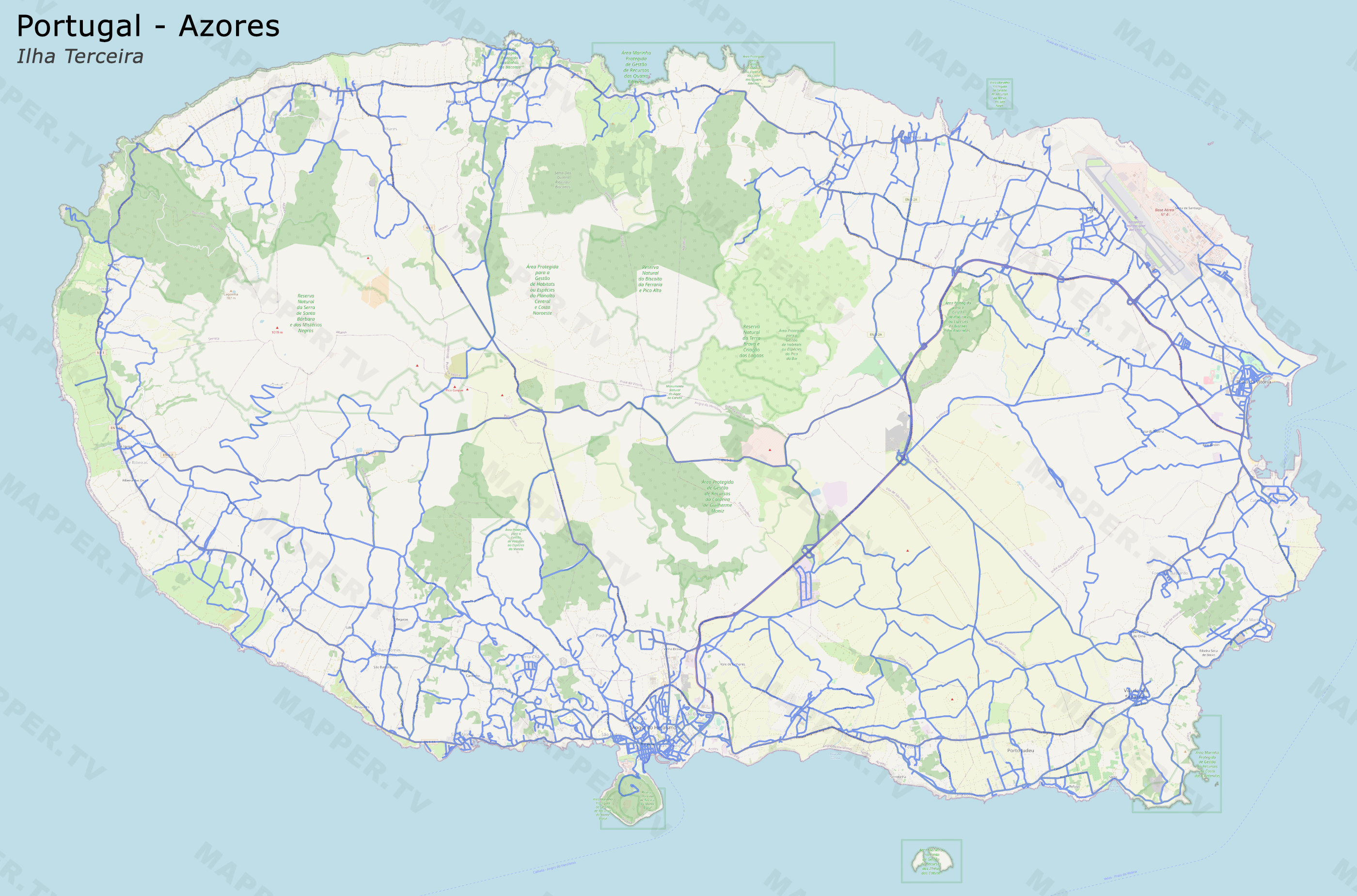
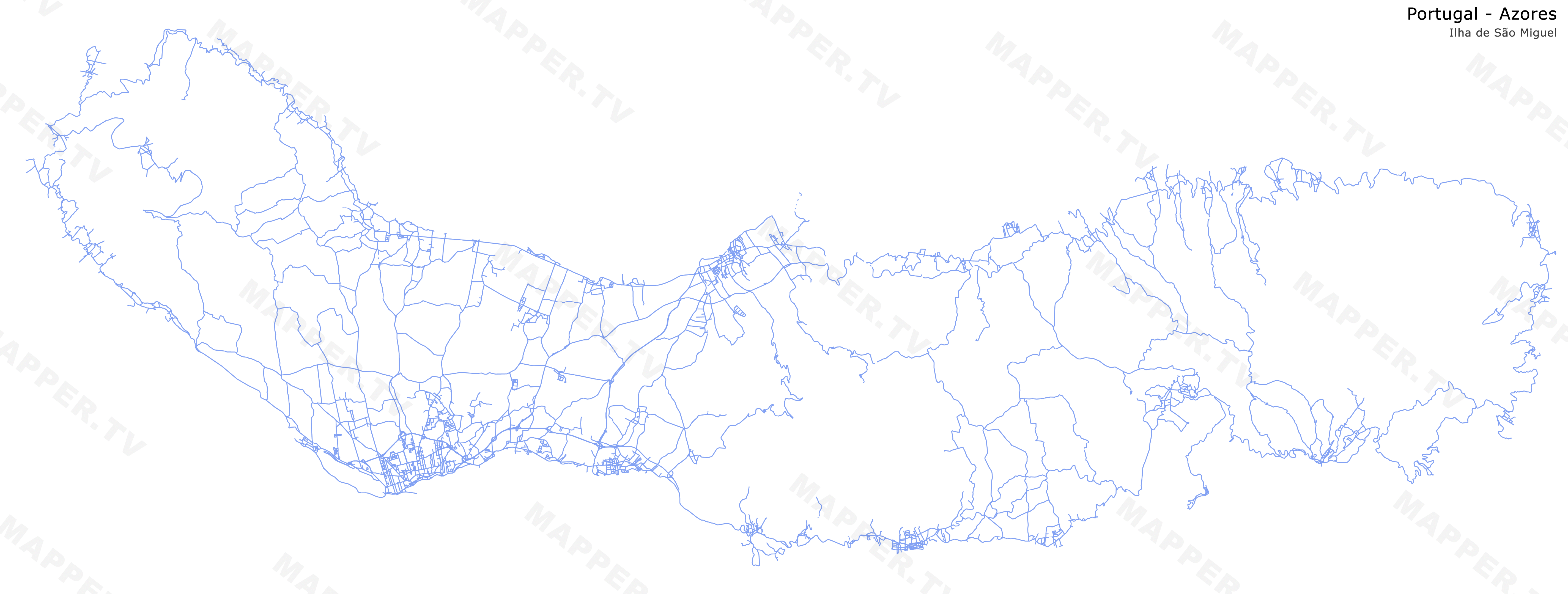
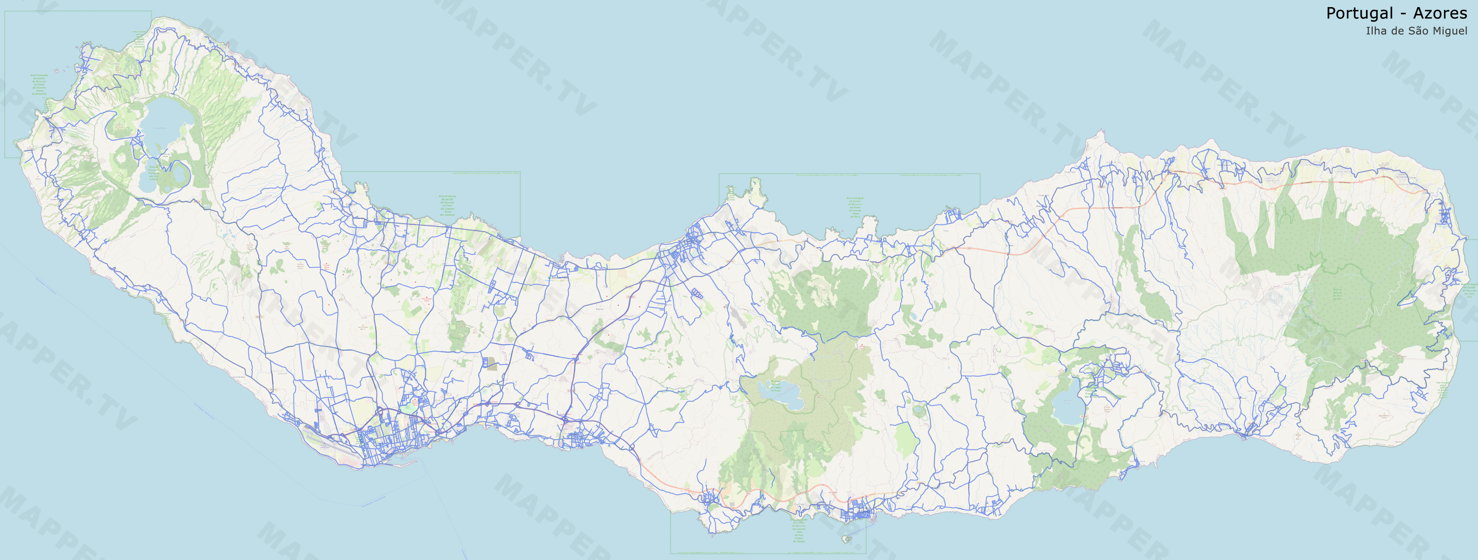
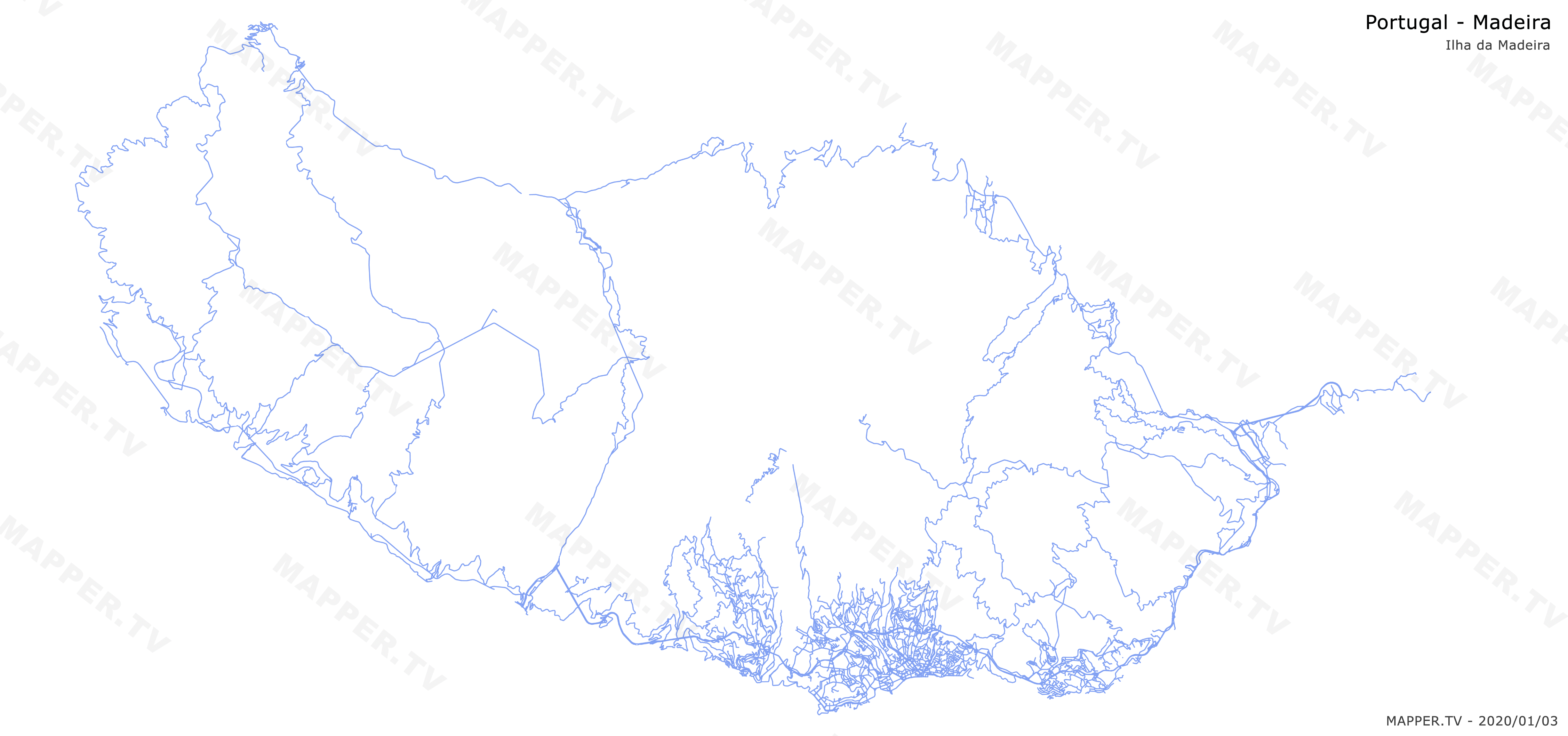
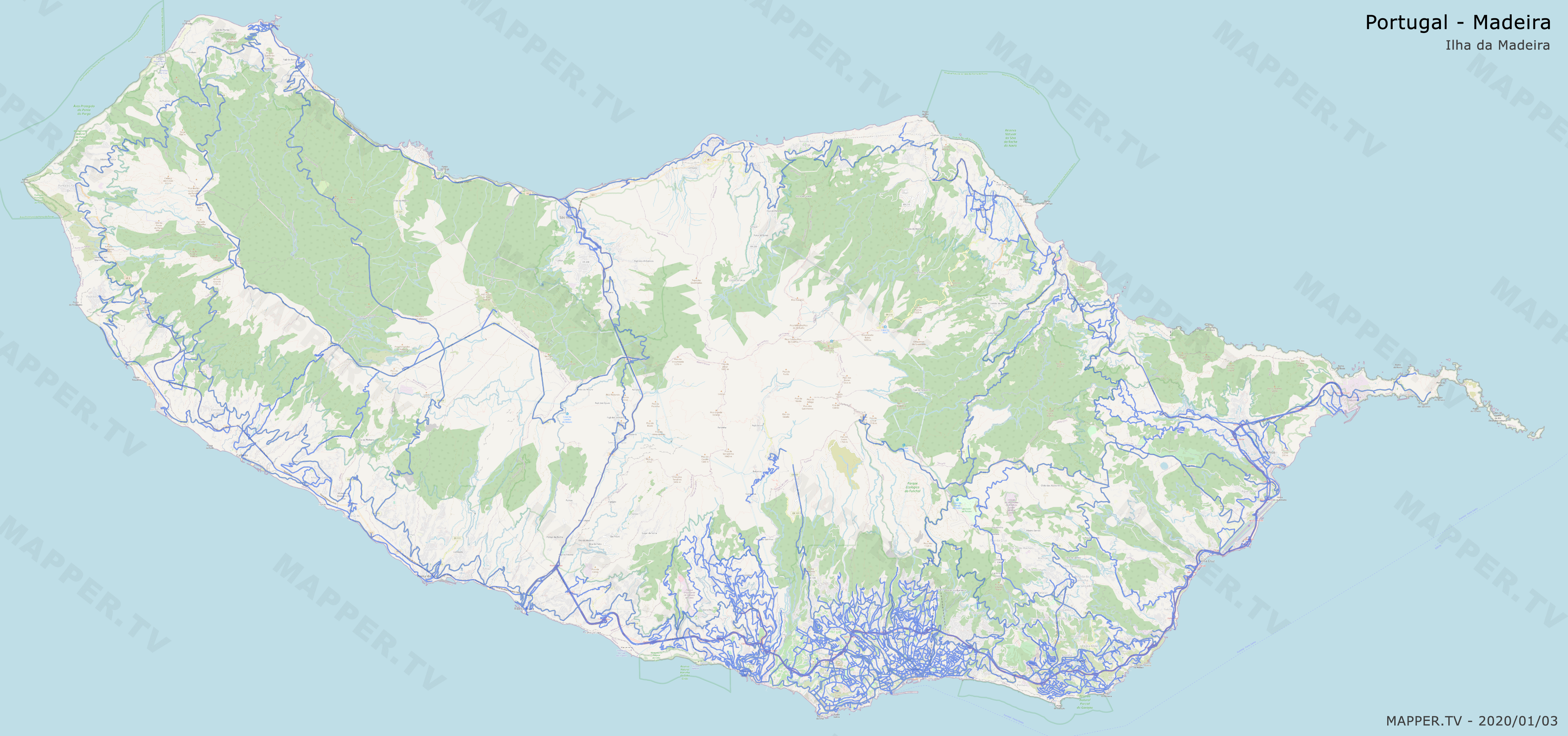
Country and territory maps show all official Google Street View including trekkers and indoor coverage.
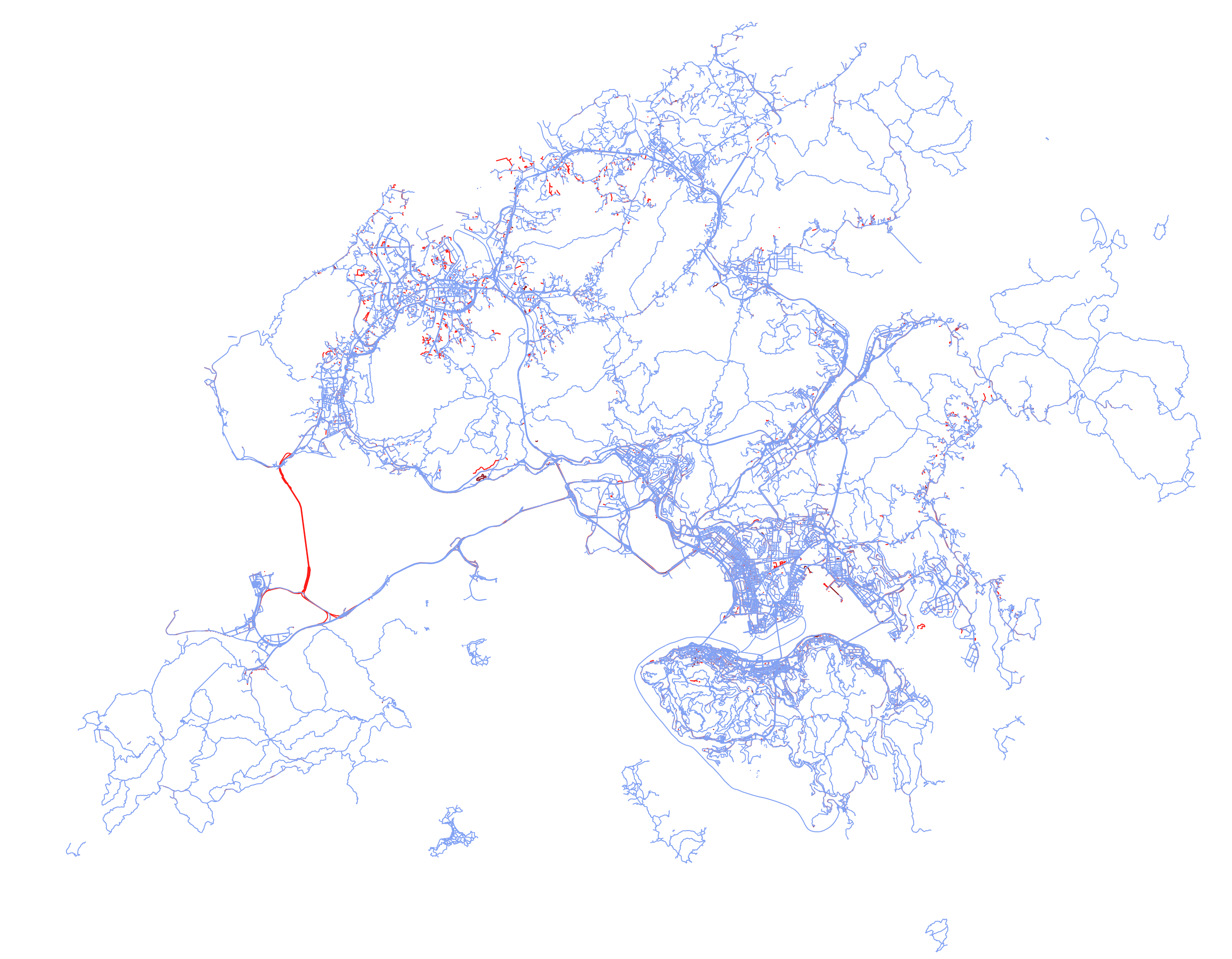
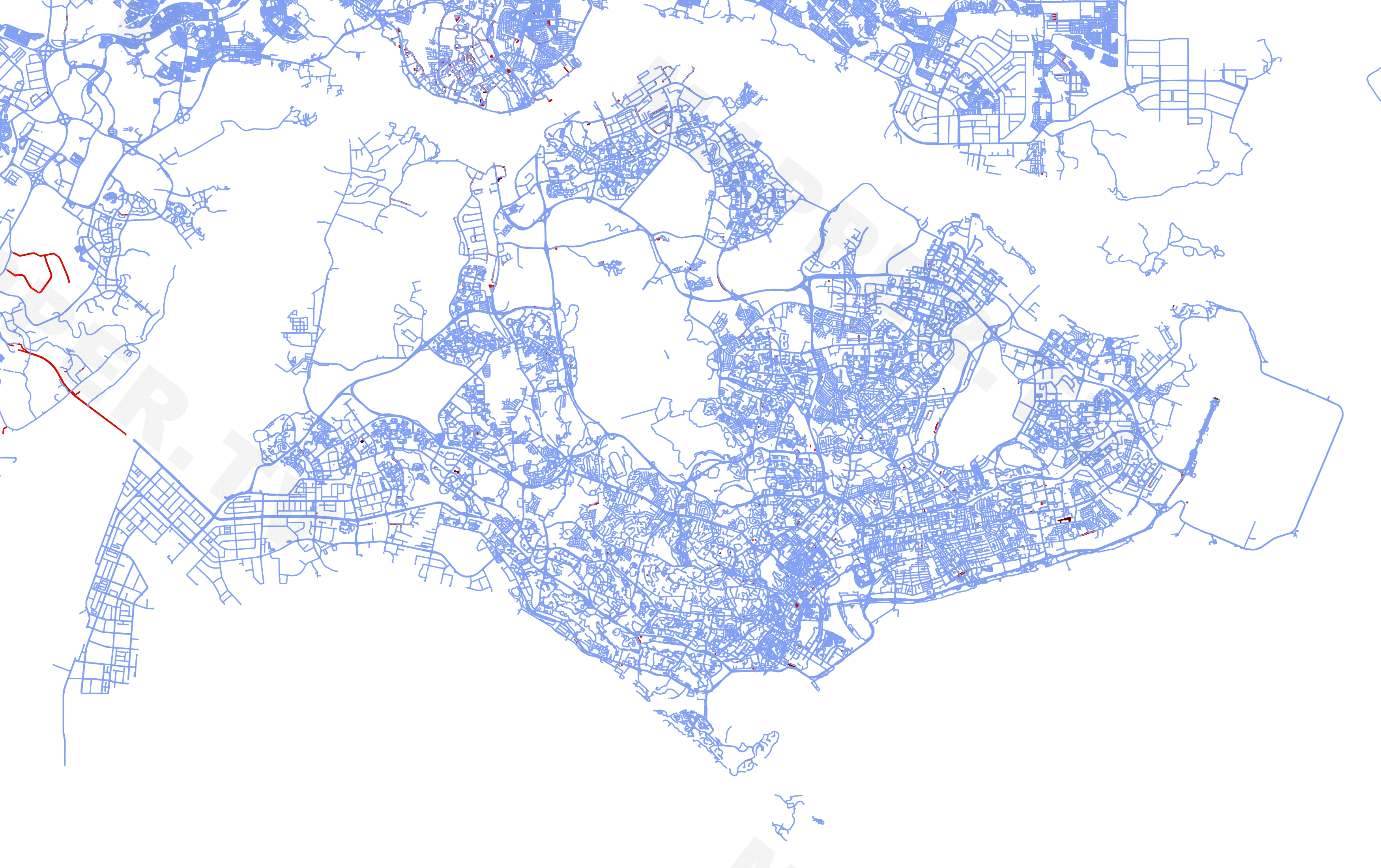
In difference maps bright red indicates new coverage, dark red indicates removed coverage.
| Update | Standard | OSM | Difference |
|---|---|---|---|
| 2021-01-03 | standard | OSM layer | - |
| 2021-03-12 | standard | - | difference |
| 2021-06-21 | standard | - | difference |
| Update | Standard | OSM | Difference |
|---|---|---|---|
| 2021-01-03 | standard | OSM layer | - |
| 2021-03-12 | standard | - | difference |
| 2021-06-21 | standard | - | difference |
Note: those maps of the Portuguese islands are not generated on all GSV updates as those places are not updated by Google. However an update is planned in 2021 and new maps will be generated when it will be live.