Throughout 2025, we have noticed that Google Street View teams have been replacing much of their cameras with a new, much more portable and smaller model, effectively reducing the use of vehicle transportation as well as trekkers.
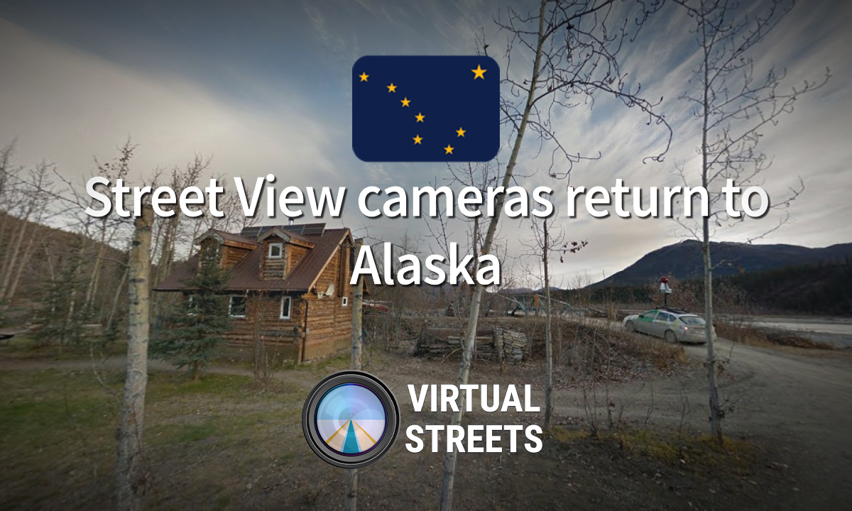
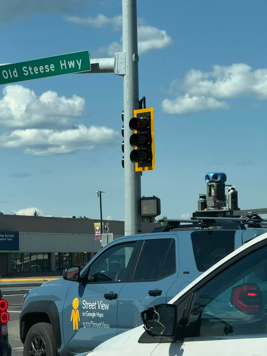
In mid-June 2025, a Fairbanks community group noted the sighting of a Google Maps car driving along the Old Steese Highway in the city of Fairbanks. This is the first time Google Maps has updated coverage of this city this decade, and the first time they have used this type of handheld camera in the state.
Filming Challenges
Because Alaska is quite separate from the U.S. mainland, the Google Maps team has had some difficulty updating the territory like the rest of the states in the country, where it has previously had to transport vehicles from California to the state, logistically causing Alaska to be updated much less frequently than other parts of the United States.
This has led the Google Maps team to take some unconventional measures such as the use of poor quality cameras in 2019, the first time Google has used cameras not produced by them to record U.S. streets. This has negatively impacted the accuracy of the images where it is much more difficult to read road signs and small signs and images captured with these cameras may be misplaced because they do not have a good geolocation system.
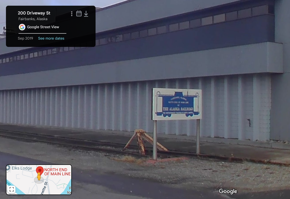
These poor quality cameras were used to cover part of Anchorage and Fairbanks as well as the AK-3 Highway connecting the two cities, the photographs are from September to October 2019.
Imagery Improvements
As of July 2021, the Google Maps team sent one of its standard cars to the Anchorage metro area, where it began photographing much of the suburbs, marking the first time the state has received official Gen 4 imagery and effectively replacing much of the poor quality imagery of 2019.
Aside from the Anchorage updates, in October 2021, the Google Maps team photographed part of the AK-1 and AK-9 Highways, being the last time in that year that Google Street View drove in the state.
But even so much of the state is below many areas in the United States, where much of the imagery of towns and state roads dates back to 2011 and in the worst cases 2009. Hopefully, with this sighting, the Google Maps team can expand to more areas of the state.
