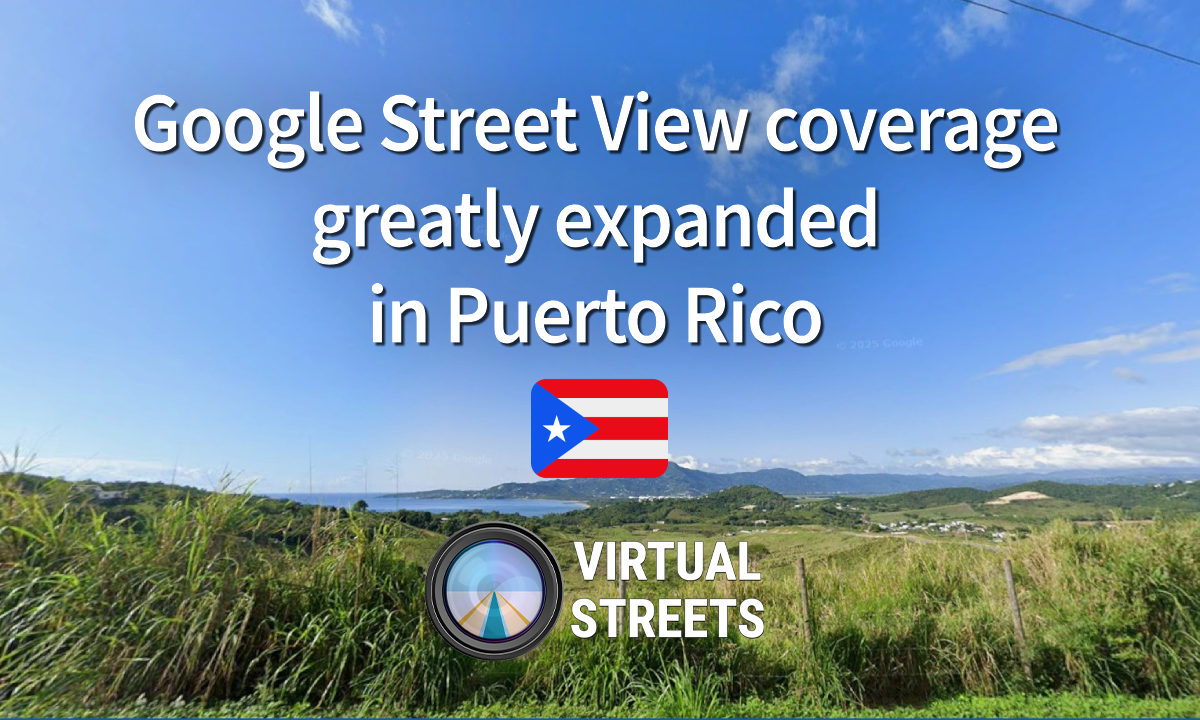
These months we have noticed a significant increase in the existing coverage of Puerto Rico, it is quite a radical change since when Google first drove on the island in late 2016 left many areas uncovered but is now trying everything possible for fixing that cap, especially in the most densely populated areas of Puerto Rico.
General Overview
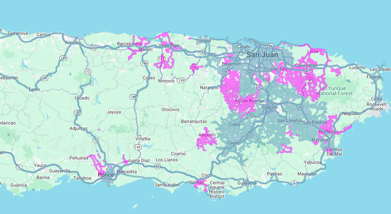
The Google Maps team has added coverage to the streets of different municipalities in different parts of the island such as places in the Central Mountains such as Aibonito and Aguas Buenas as well as areas around the north coast such as Vega Baja and Loíza. Additionally, it was also reported that most of the streets in Humacao and Salinas were also covered in 2025.
Regional Highlights
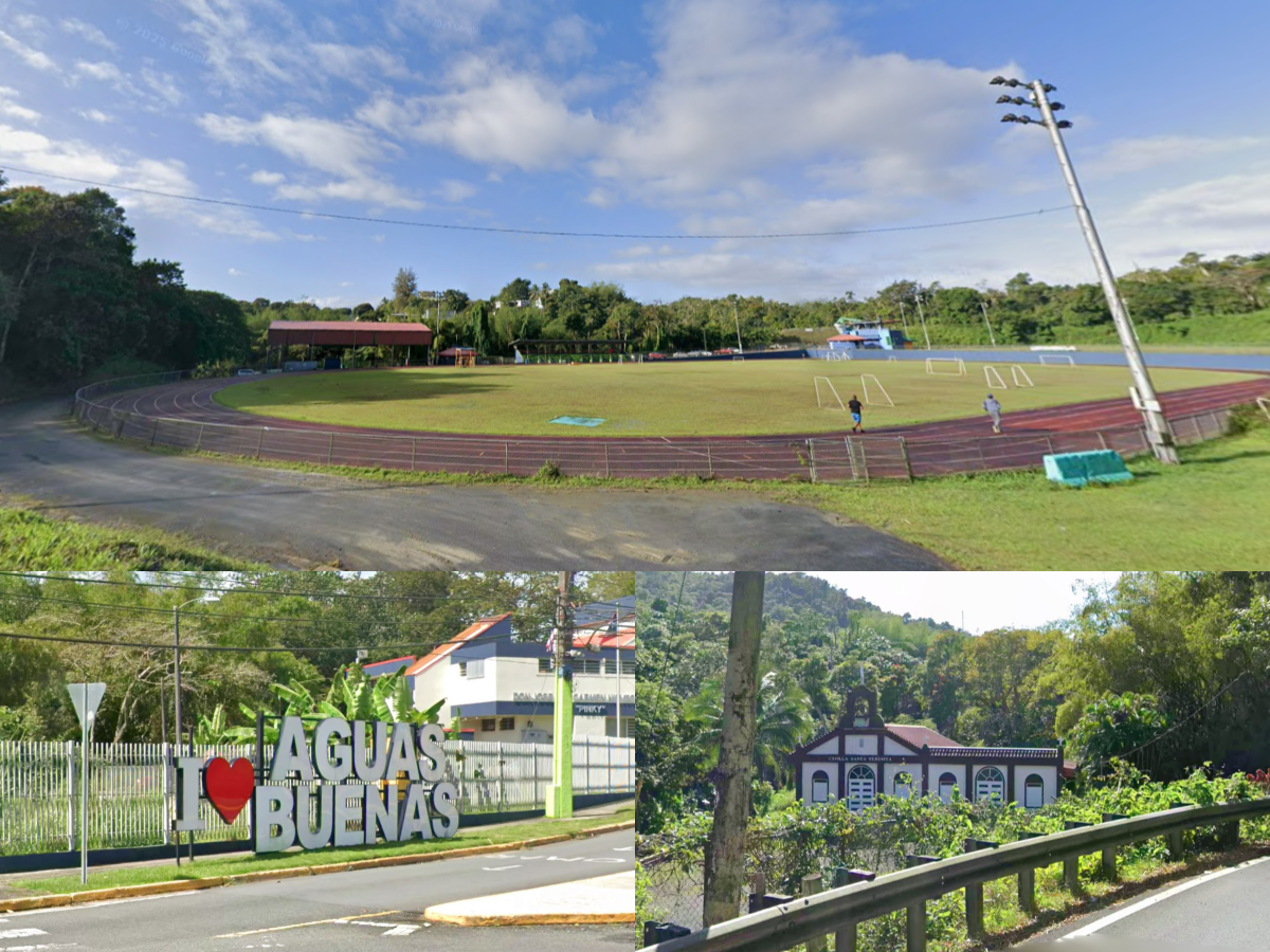
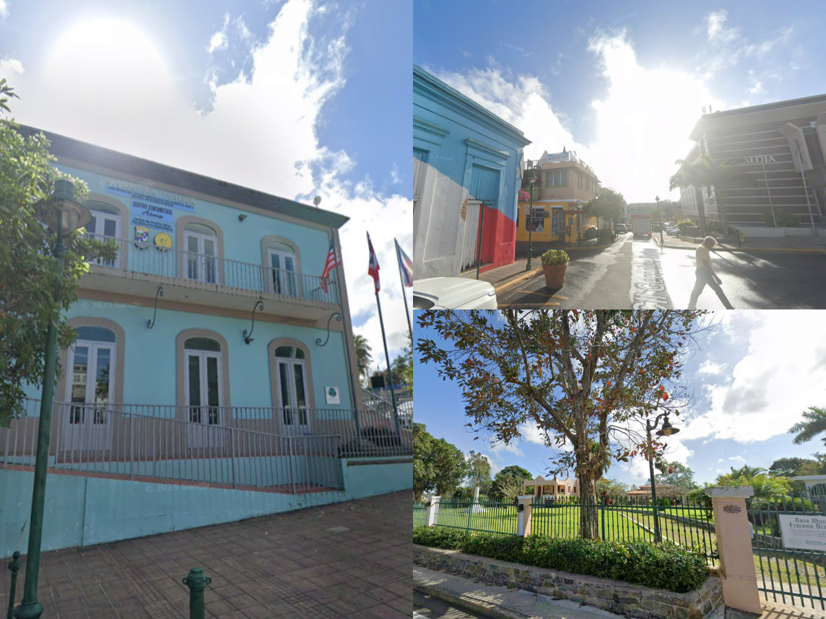
In mid-May 2025, Google officially integrated the municipality of Aguas Buenas to the rest of the island’s street view. Much of the coverage dates from late February 2025. The coverage included views of Sanjelo Creek, Samuel Rodriguez Municipal Coliseum and Don Francisco “Paquito” Díaz House of Art and Culture.
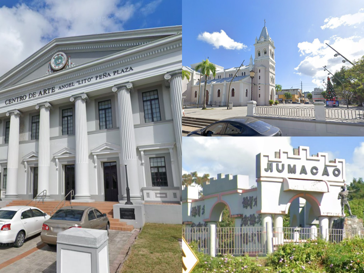
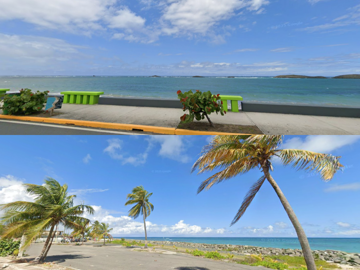
Since February 2025, Google released imagery for several state highways around Humacao, one of the few coastal municipalities that did not receive proper Gen 3 imagery in 2016, where the only road that Google Maps had covered was the Dr. José Celso Barbosa Highway. In April 2025, Google published the images around Palmas de Mar. At the end of May 2025, Google Maps published street view around Punta Santiago, where images of the beaches of the municipality were captured. Coverage was greatly expanded to include images around Cerro Mabú.
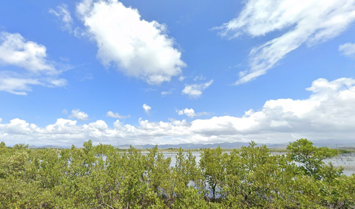
In mid-June 2025, Google launched imagery around the Salinas metropolitan area and added imagery around Jobos Bay. Coverage of the town of Coco has also been extended.
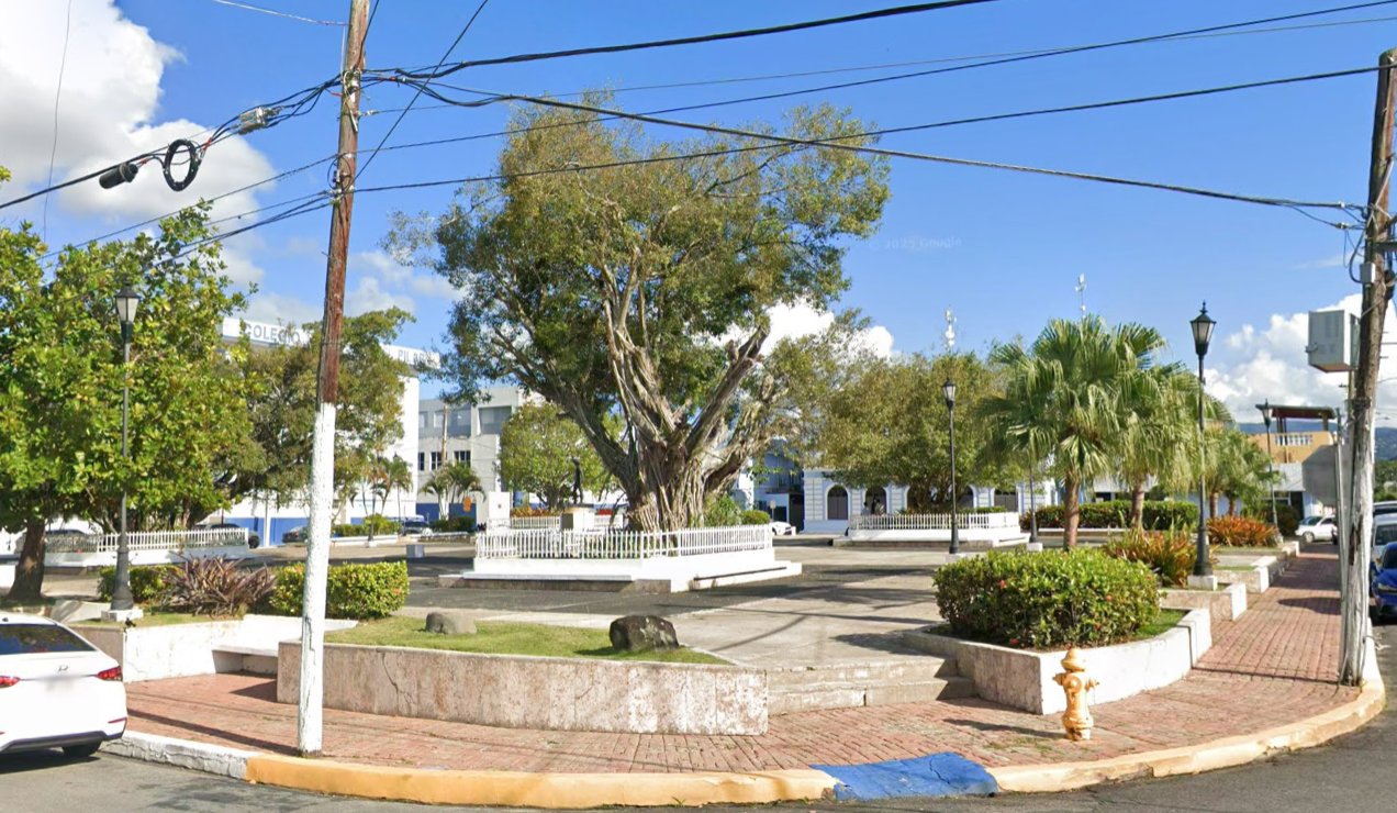
The Google Maps team has made good progress in adding another municipality in central Puerto Rico including Aibonito, characterized by its viewpoints and rock formations, the mapping vehicles photographed the PR-717 Highway around the Piedra de Algarrobo, in addition to Piedra de Degetau.
In addition, Google also significantly increased coverage around Canóvanas, with much of the coverage dating back to March 2025.
Coastline Imagery
Google also added street view to different coastal locations in the north of the island such as Tierras Nuevas Poniente, Sandin and Loíza. Most of the images date from March to April 2025.
New Highways Covered
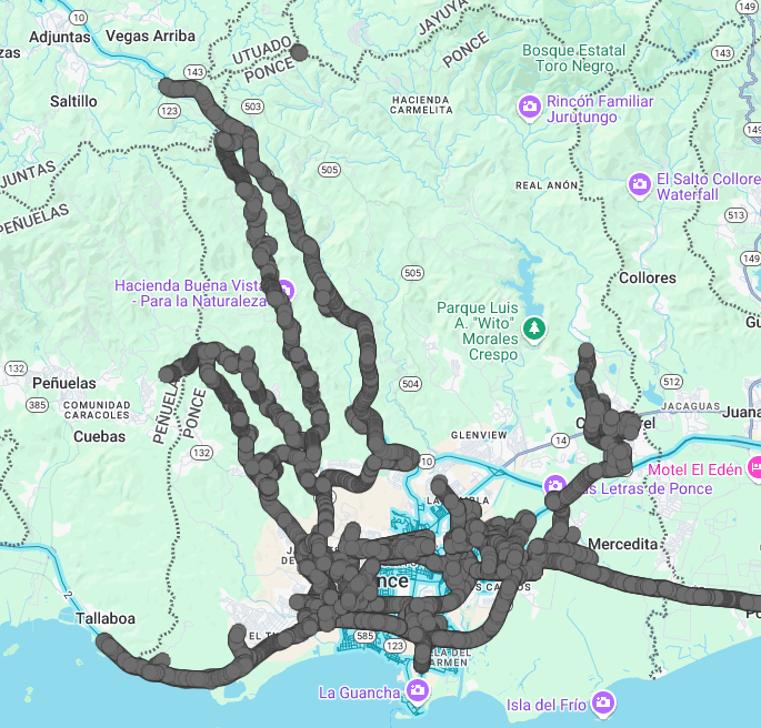
Around the municipality of Ponce, Google has focused mainly on adding images of several state roads such as PR-123 Highway that connects the Hacienda Buena Vista Nature Reserve. In addition to some sections of the PR-503 Highway with views of the Portugués River.